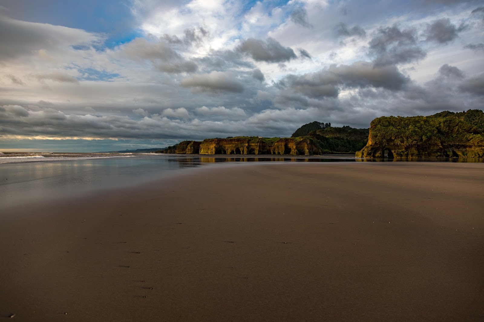
The falls have probably been photographed a million times because of their easy access but none the less .....
22 September 2017
Dawson Falls - Mt Taranaki National Park.
The falls have probably been photographed a million times because of their easy access but none the less .....
13 September 2017
The way we were - Morven Primary School - South Canterbury
Morven is a tiny place in South Canterbury (Google Maps) with the main south railway running through the middle. So small it doesn't even have a listing in the Wikipedia.
Looking at the street layout on either side or the rail line it probably once had a bigger population but in 2015 even the rural school with just 16 pupils closed down. (Stuff newspaper)
My mothers family is from this area, below is a school photo from 1911, mums father is in the front row on the trike. Notice the number of children who came to school by horse - how cool would that be today.
Morven School - 1911
11 September 2017
Tawharanui Regional Park
The Tawharanui Regional Park (Info) is 82km north of the Auckland CBD (on the east coast) and although I have fond memories of the place from when I used to camp there back in the mid 1990s I haven't been back since as it is twice as far away as my favourite (but much smaller) park - (Wenderholm)
The road to the park is sealed except for the last 4km which is currently being completely reconstructed - if it is wet expect to get your vehicle very dirty.
It's a large park - several km from end to end with many really spectacular beaches, sections of gnarly coast and a very picturesque lagoon near the entrance.
On the day we were there (a Friday in September) there were only about eight other park visitors including some very poor souls on a modelling bikini shoot in the freezing cold.
View from the ridge about half way along the park - looking west
Lagoon near the entrance to the park
Many sandy beaches
...and some stony beaches
Typical view below from one of the many walks
The birthday girl on her day out - before the shoes got really muddy on one of those walks.
(Photos Canon G16)
06 September 2017
Kiwi life
When you've lived on a small farm for 25 years and then find yourself on just 650sqm there are times when you feel glad you'd taken good care of those powered implements of destruction that were necessary for chopping up fallen pine trees and dead shelter belts.
The down side being on a farm you can throw all the branches in a heap and toss in a match - carbon neutral- in the city is a trip with the trailer (also saved from the farm) to the green waste place and the handing over of ridiculous amounts of cash.
05 September 2017
Kaipara Harbour
The Kaipara Harbour (Wikipedia) is a huge inland harbour of some 940 sq/km north of Auckland.
The southern peninsular is relatively accessible from Auckland, its northern tip (through a private forest road) being about 100km and 1.5 hours from Auckland. The northern part and the Pouto Peninsular in the north is a 3.5 hour 244Km drive.
The southern peninsular is a pleasant drive on sealed road (except at the very northern end) with low traffic volumes through farming country.
Lagoon at northern tip - I was there at low tide just a vast expanse of shallow water and mangroves
A better section of the gravel road through the Woodhill Forest (open to the public) which is the only access to a huge lagoon (above). You don't need a four wheel drive but it would help - there are 5-10 km of this.
Looking south from Shelly Beach
Looking north from Shelly beach, an incredibly popular boat launching area at the weekend and home to one of the best cafes around. You won't get any of that fancy food city food but you'll get outstanding value, good coffee and a pretty decent view - below.
Towards the norther end of the peninsular is one of Auckland's newer Regional Parks "Te Rau Puriri". Unfortunately the entrance is some way from the bay (as above) so you would need to pack in any picnic supplies - I was not able to work out if there were any facilities at the beach but generally speaking I've found all the regional parks to be equipped with toilets. This like most of the other parks is a working farm and (below) it is currently lambing time (we are famous for our high quality wool).
30 August 2017
Lake Clearwater
Lake Clearwater (Wikipedia) is a small South Island lake which can be found some 34km north west of State Highway 72 with the turn off near Mt Somers. Half the road is sealed although the unsealed section was of pretty decent quality the day I drove in even though from the water lying about there had been some serious rain in the not to distant past.
The sealed section during peak traffic.
There are actually a series of lakes along the road - I couldn't find the name of the one above which is about half way along the unsealed sealed section and on the northern side.
Evidence of the recent rain was vast amounts of water flowing along beside the road.
Expect to see a lot more sheep than people and come prepared as there are no shops, toilets or facilities of any kind at the Lake which is mainly popular with fishermen and die-hard windsurfer types due to its wind-swept reputation. These days there is quite a settlement at the lake with two "streets" of these modest holiday homes. These are pretty much "off the grid", solar power, gas appliances, log fires and definitely no cellular service - sounds ideal
South-eastern end of Lake Clearwater not far from the settlement.
27 August 2017
Swing bridge over the Hurunui River (Blythe Road)
Not so many of these left in service and not so many places you stand on a bridge that's quietly vibrating with no traffic....
(Google Street view)
24 August 2017
21 August 2017
Gore Bay
Gore Bay on the coast a few km east of Cheviot in North Canterbury.
As my friend Geoff describes "typical South Island - no people" !
As a stony beach it is exceptionally noisy even when waves are small (above)
A little south of the bay are these formations known as the Cathedral.
Subscribe to:
Posts (Atom)